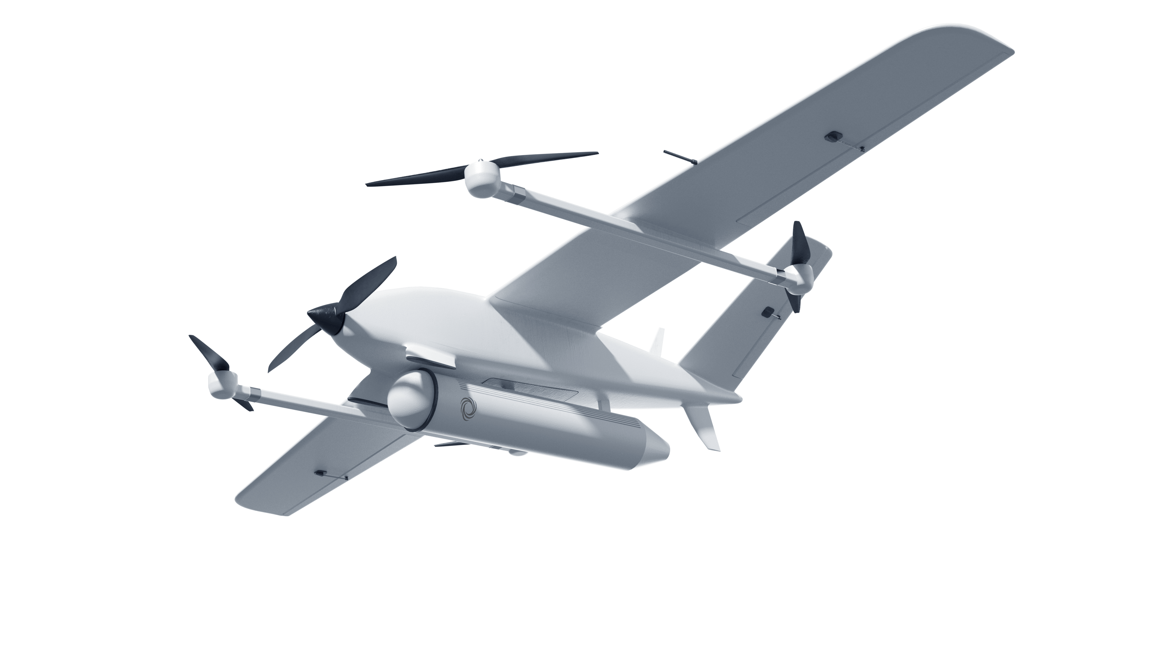
SAHARA is an autonomous UAV-borne synthetic aperture radar (SAR) system designed for situational awareness on and off the battlefield. It detects camouflaged positions and equipment, weapons storage, and supports maritime surveillance. The system delivers reliable intelligence data in inclement weather and during night-time operations.
PAYLOAD
Sahara
- _Synthetic aperture radar imagery on demand
- _Designed for situational awareness
Mission
System in Action
Planning and Launch
SAHARA is assigned to a mission based on ISR objectives such as terrain mapping or detection of concealed threats. Once tasking is complete, the system is deployed on a UAV platform for autonomous execution.
Data Capture
While in flight, SAHARA uses synthetic aperture radar to penetrate cloud cover, foliage, and darkness. It monitors activity, detects equipment and vehicles, and performs maritime surveillance in all conditions.
By design, SAR captures data from the side, enabling SAHARA to survey wide areas and gather intelligence from a distance without needing to fly directly overhead.
Data Extraction
Radar data is processed offboard for rapid interpretation. Operators receive actionable intelligence within minutes, supporting informed decisions in time-sensitive missions.
This image visualizes ground movement between radar passes, with red indicating departed vehicles, green showing new arrivals, and white representing stationary assets. This enables rapid insight into site usage, anomalies, and operational tempo.
Specs & Capabilities
Specs
- Frequency Range
S
- Polarisation
Dual linear
- SAR Imaging Resolution and Range
0.25 m at 2 km
1.2 m at 10 km
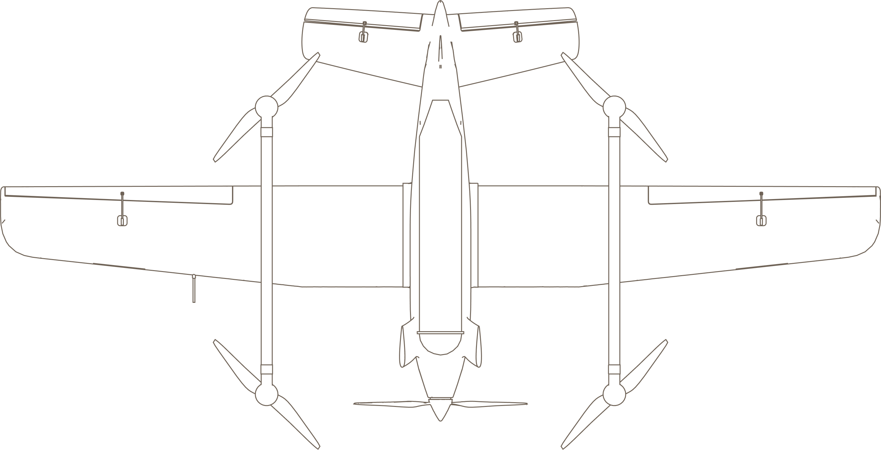
- Size
20 cm x 85 cm x 20 cm
7,9 x 33.4 x 7.9 in
- Weight
< 3.5 kg | 8 lbs
- Power Consumption
< 65 W
Capabilities
- Operational Readiness
Rapid deployment
All-weather, all time operation
- Tactical ISR
Long-range wide area detection
Manufactured object detection
Under-camouflage detection
Maritime surveillance
- Operating Modes
Stripmap, circular
- Change Detection
Amplitude change detection (ACD)
Multi-temporal coherence (MTC)
Coherent change detection (CCD)
SAHARA’s embedded AI reconstructs and clarifies SAR images in near-real time, even in degraded environments.
SAR imagery captured via UAS is often affected by motion artifacts, missing data, or poor resolution due to conflict-zone conditions. SAHARA corrects and refines these inputs directly onboard, delivering high-resolution radar images without relying on external processing. This frugal approach ensures robust performance in high-interference or contested environments.
Sahara